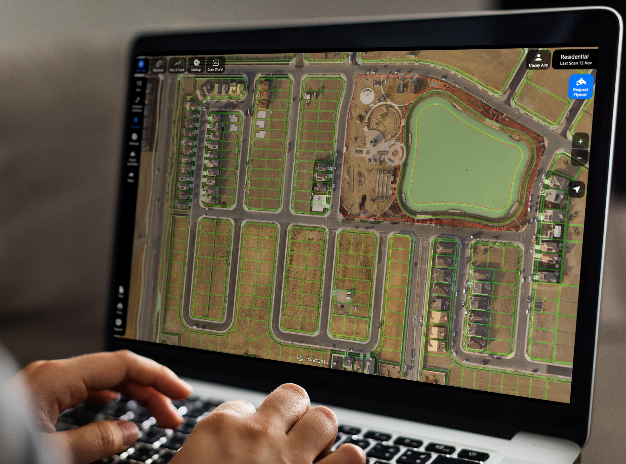
The #1 Software for Homebuilders and Land Developers
TraceAir is a site intelligence platform that empowers land development teams to make fast and accurate data-driven decisions.
Why TraceAir?
TraceAir is the only 3D construction platform tailored for land developers and homebuilders
-
Manage site work progress remotely
Save hours of time on the road and manage productivity from any location.
-
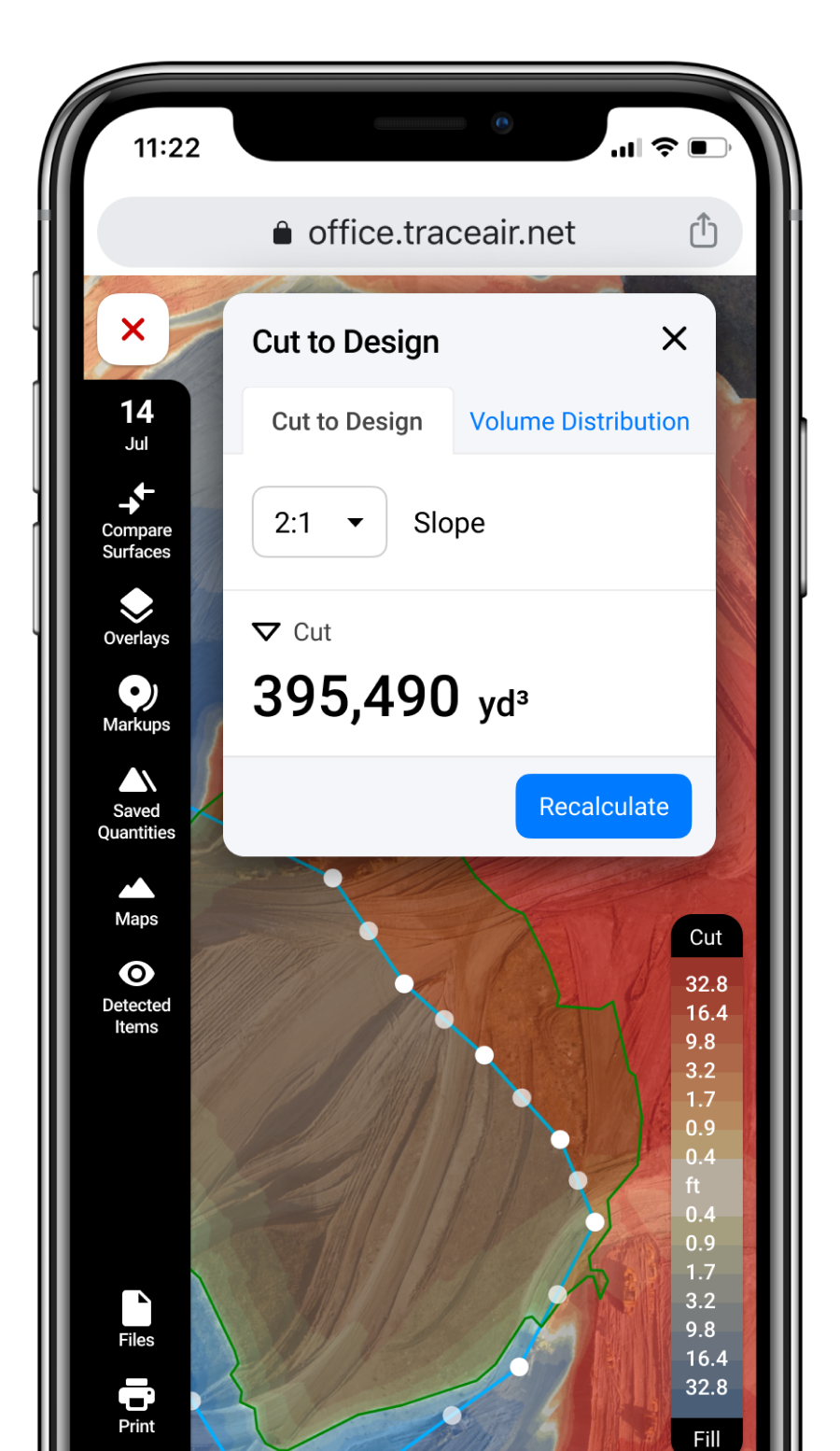
Achieve site balance and avoid dirt bust
Plan and solve for dirt balance problems proactively before money is wasted on expensive imports or exports.
-
Maximize site work efficiency
Eliminate errors in the field and reduce risk with precise sequencing and planning.
-
White glove service and overnight processing
We deliver fast, accurate 3D scans without the hassle. Our team handles drone flights and data processing.
-
Clear, accurate visibility into projects
Topos are accurate within centimeters, providing precise quality control with less need for in-person inspections.
-
Effortless collaboration with your team
TraceAir's software is super simple to use and empowers teams with data to expedite decision making.
How It Works
A Turnkey Software and Service Solution from the Drone to your Desktop
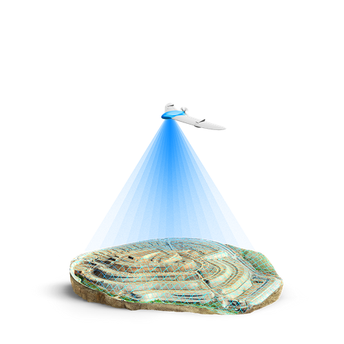
Drones capture 3D topographic scans.
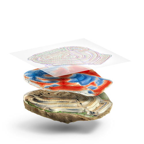
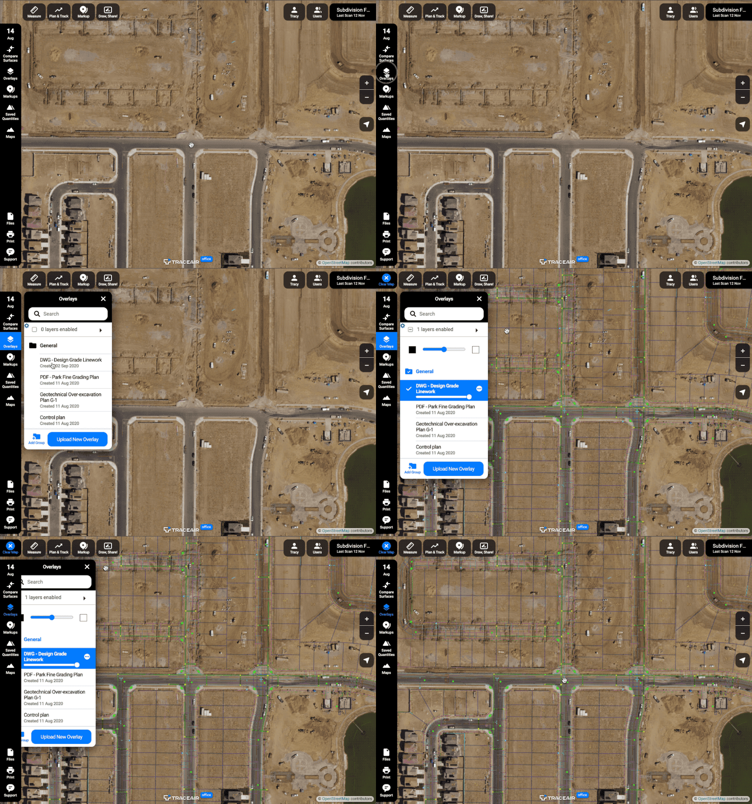
We overlay design documentation.
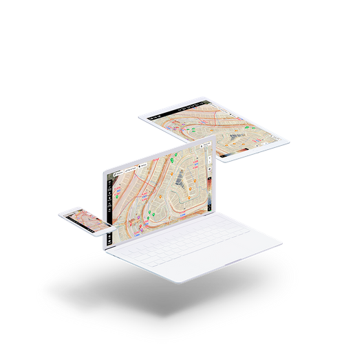
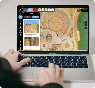
Manage your project from any location.
Tools Designed with Homebuilders in Mind
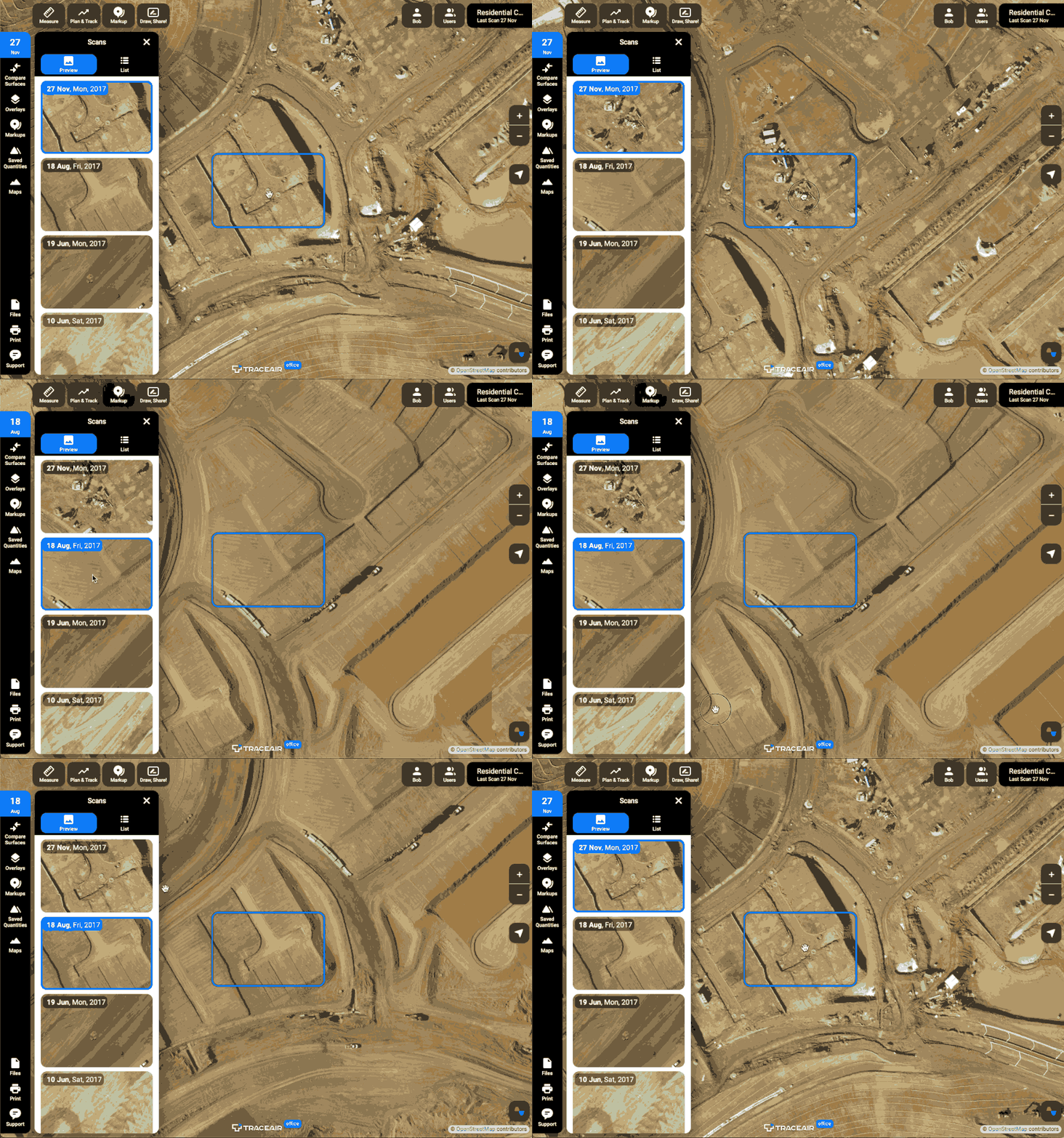
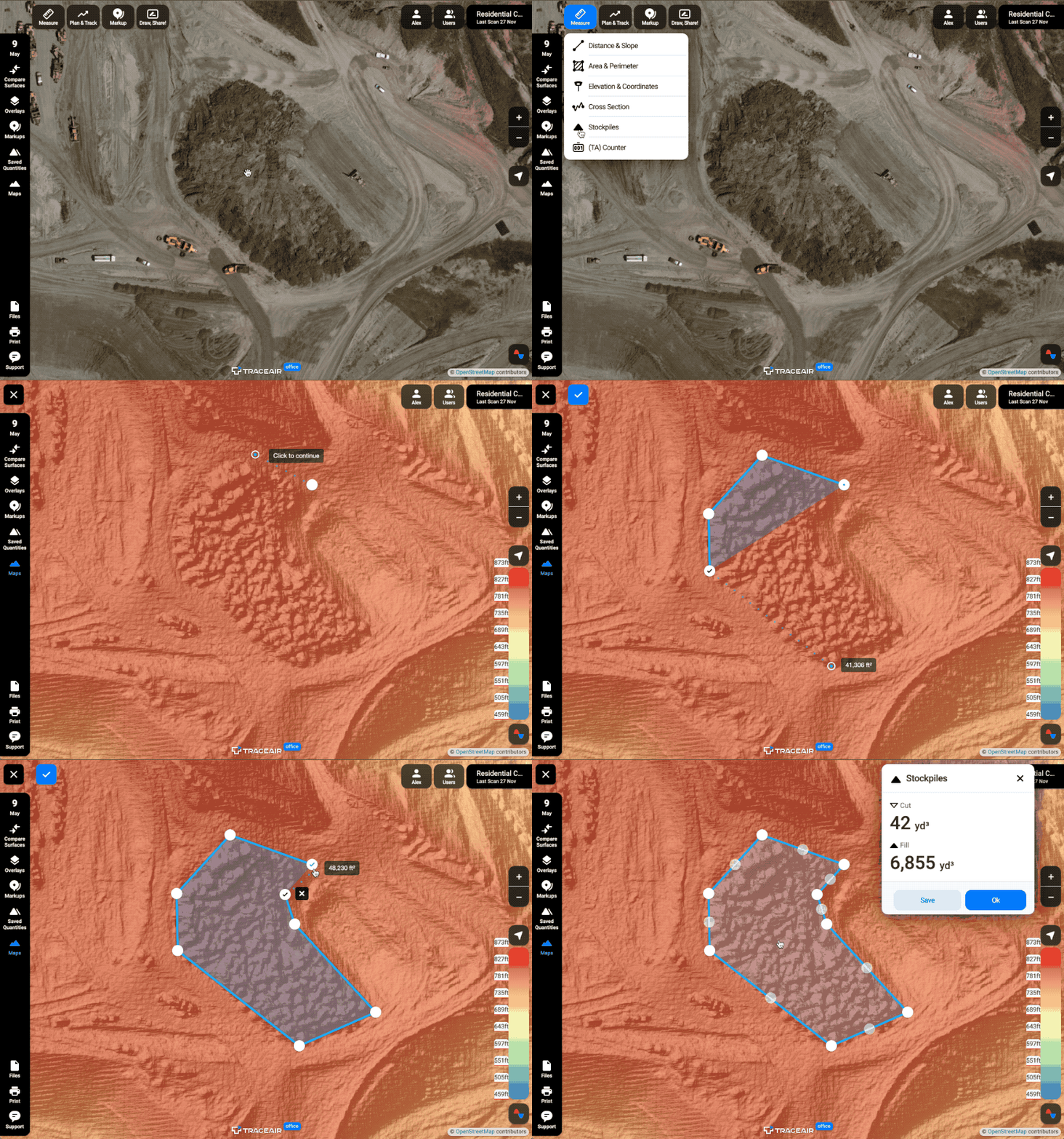
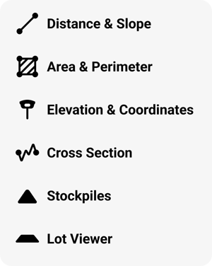
Measure
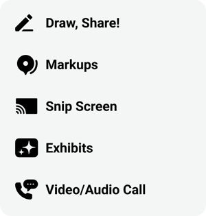
Collaboration
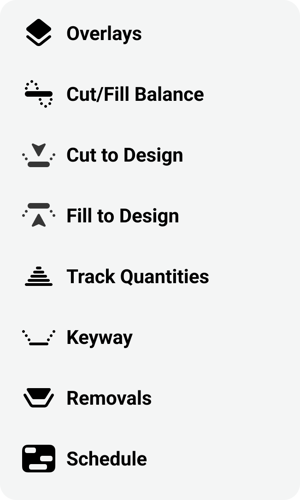
Plan & Track
See Our Solutions in Action!
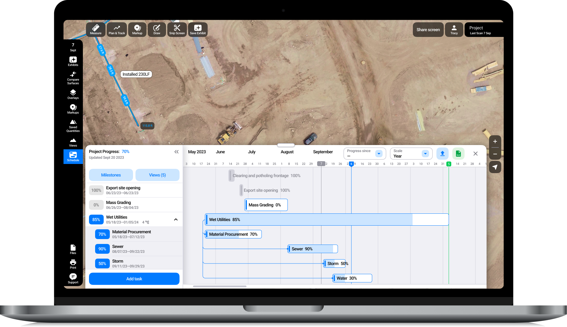
Schedule
Meet Schedule, the first and only scheduling tool built for homebuilders and land developers, enabling you to correlate your schedules with on-site progress.
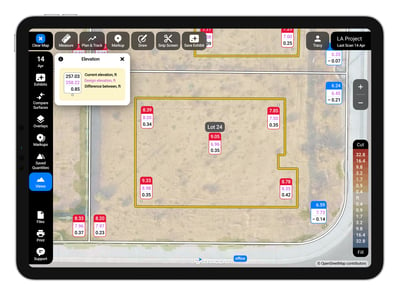
Lot Viewer
Checking the grade of your lots just got easier and faster. Comprehensive reports, color-coded maps, and advanced tools for precise lot assessment.
Hear from Our Customers
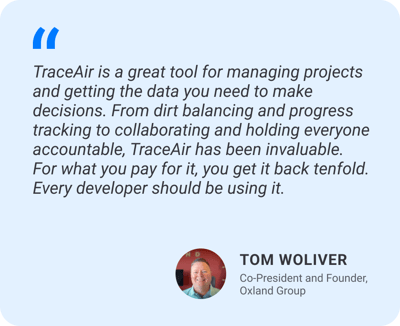
Leveraging Technology: M/I Homes’ Competitive Advantage with TraceAir
How Johnson Development Reduces Land Development Costs and Maximizes Efficiency
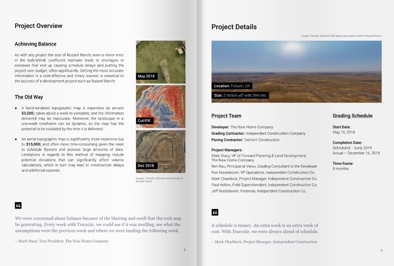
Customer Story
Learn how top homebuilder, Century Communities, uses TraceAir's site work platform to reduce land development costs through more precise earthwork operations and improved project team communication and collaboration.
Additional Features
- Unlimited licensing
- Services all of USA & Canada
- 24-hour turnaround time on scans
- Accurate quantities up to 3 cm of accuracy
- 3D Topos & 360º Panorama
- Track your current location on site
- Track and visualize progress by past and current scans against design grade
- Save and share exhibits, shareable, editable custom views of a project meant to align and enhance communication across the whole team.
- Project Dashboard - easy access to high-level project activity
- Professional surveying services in California with plans to expand in 2024
-p-800.png?width=800&height=533&name=64e7c267716e8cf30546391c_MI%20Homes%20Customer%20Story%20Cover%20(2)-p-800.png)
-p-800.png?width=800&height=533&name=647e521e2ff5619028d33bdf_Johnson%20Development%20Customer%20Story%20Cover%20(1)-p-800.png)
-p-800.png?width=800&height=533&name=64db8aaa13776f20f1fccf47_Minto%20Customer%20Story%20Cover%20(1920%20%C3%97%201280%20px)-p-800.png)